3D laser scanning for commercial construction in Atlanta, GA
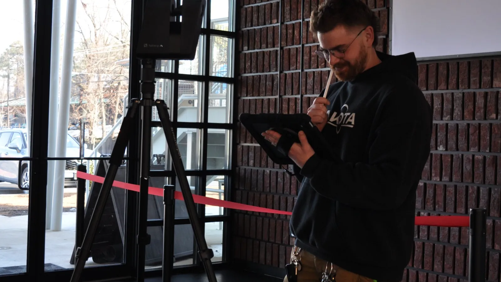
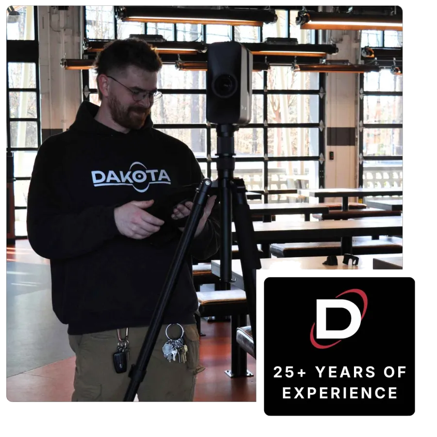
Professionally scan existing commercial spaces with the Matterport Pro3
Scan your space to a 1/16" accuracy, delivering point cloud data, and CAD-ready models your architect and engineers can build from before a single drawing is made from Dakota.
Get a Project Quote
From napkin sketch to CAD-ready model
Dakota Contractors' Matterport 3D scanning captures the full existing conditions of any commercial space in a single visit, delivering millimeter-accurate point cloud data that eliminates guesswork from preconstruction planning, design coordination, and renovation scoping.
3D laser scanning and reality capture services
From existing conditions documentation and as-built capture to preconstruction site assessment and renovation scoping, we deliver precise 3D spatial data that makes every downstream decision faster, cheaper, and more accurate.


The only Atlanta commercial GC operating professional Matterport scanning in-house.
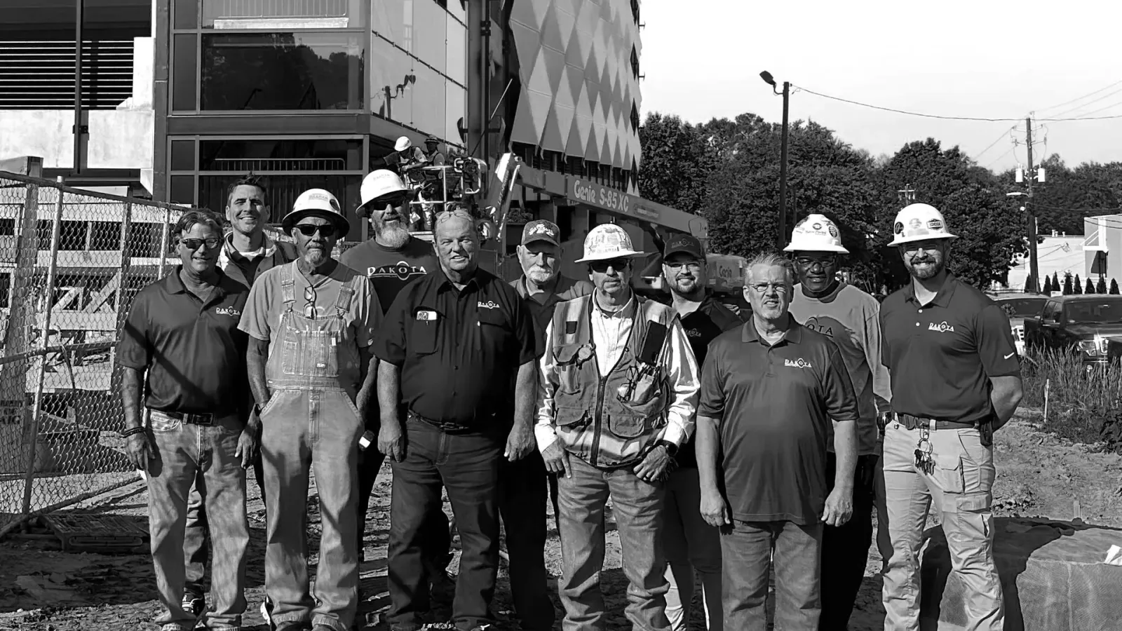
About Dakota
Most contractors don't own a Matterport Pro3. Most scanning services don't understand construction. Dakota Contractors bridges that gap by operating professional-grade reality capture hardware as a native part of our preconstruction and construction management processes. When we scan your space, we're not delivering a file. We're applying 26 years of commercial construction experience to interpreting that data, identifying structural implications, MEP conflicts, and scope considerations that a scanning-only service would miss entirely. The scan is the starting point of the project, not a standalone deliverable.
Featured Commercial Projects Across Atlanta & the Southeast
A look at the work that defines us. Every Dakota project reflects our commitment to craftsmanship, collaboration, and getting it right.

Stellar Bodies
Retail

Your 3rd Spot
Restaurant & Hospitality

The Works Parking Deck #1
Industrial & Structures

Chattahoochee Food Works
Restaurant & Hospitality

Taste Wine Bar and Market
Restaurant & Hospitality

Brooklyn Bagel and Deli
Restaurant & Hospitality

Dr. Scofflaw's at The Works
Restaurant & Hospitality

Havertys
Retail

84 Walton Street Open Door
Corporate & Office

84 Walton Street
Corporate & Office

Suzuki School
Education

The Goddard School
Education

Damsel
Restaurant & Hospitality

Suburban Plaza
Retail

Louisiana Bistreaux
Restaurant & Hospitality

The Comet Bowling
Restaurant & Hospitality

Half Price Books
Retail

HomeGoods
Retail

JOANN
Retail

ROSS
Retail

Starbucks
Restaurant & Hospitality

The Works Parking Deck #2
Industrial & Structures

Grindhouse Killer Burgers
Restaurant & Hospitality

Israeli Consulate

Tulsa Welding School
Education

Taste Wine Bar – Sandy Springs
Restaurant & Hospitality

The Works Marketing Office
Commercial & Office
Hear From Our Clients
Dakota Contractors has earned the trust of clients across retail, restaurant, education, medical, and more. Here's what a few of them have to say.
Founder

Owner and Founder

CFO

Owner
Frequently asked questions about 3D laser scanning for construction
What is 3D laser scanning in construction?
3D laser scanning, also called reality capture, uses LiDAR sensors and photogrammetry to capture the precise spatial dimensions of a physical space. In commercial construction, it's used to document existing conditions before design begins, verify as-built conditions after construction, coordinate MEP systems, and give architects and engineers accurate spatial data to work from. The result is a point cloud dataset and a 3D digital twin that contain far more information than a traditional manual survey and are captured in a fraction of the time.
What is a point cloud?
A point cloud is the raw dataset produced by a 3D laser scan, a dense collection of millions of data points, each with precise XYZ coordinates, that together describe the exact geometry of a physical space. Point clouds can be imported into CAD and BIM software (Revit, AutoCAD, SketchUp) and used as the base layer for architectural drawings, engineering models, and construction documents. They replace manual field measurement with a complete, dimensionally accurate record of the existing space.
What is reality capture?
Reality capture is the broader term for technologies that create digital representations of physical environments, including 3D laser scanning, photogrammetry, and structured light scanning. Matterport's Pro3 uses both LiDAR and photogrammetry simultaneously, making it a reality capture system. In commercial construction, reality capture is increasingly used as a standard preconstruction tool to eliminate the gap between assumed and actual existing conditions.
How accurate is the Matterport Pro3?
The Matterport Pro3 captures spatial data at approximately 1/16" accuracy (≈1.5mm). This level of precision is sufficient for architectural design, structural engineering, MEP coordination, and construction planning, allowing design teams to import the scan data directly into Revit or AutoCAD and work from it without field re-measurement. It significantly exceeds the accuracy of manual surveys for most commercial construction applications.
What are the benefits of 3D laser scanning in construction?
The primary benefits for commercial construction are: eliminating costly RFIs and change orders caused by inaccurate existing conditions data; giving architects and engineers accurate spatial data before design begins rather than after; enabling remote stakeholder review without site visits; speeding up renovation and adaptive reuse scoping by capturing complete conditions in a single visit; and creating a permanent, dispute-proof record of as-built conditions at project completion.
How is a Matterport scan different from a traditional as-built survey?
A traditional as-built survey uses manual measurement, tape measures, laser distance tools, and field sketches, which is time-consuming, error-prone, and limited to what the surveyor explicitly measures. A Matterport scan captures the entire space simultaneously in a single visit, producing a complete point cloud and navigable 3D model with 1/16" accuracy. The resulting data is also shareable, accessible remotely from any device, and importable into design software, none of which is possible with a manual survey.
What file formats do you deliver?
After a scan, deliverables include: a shareable link to the interactive 3D digital twin navigable in any browser; CAD-compatible point cloud exports in OBJ and XYZ formats importable into Revit, AutoCAD, and SketchUp; dimensionally accurate floor plans in PDF format; and full-resolution imagery from the scan. All deliverables are typically ready within 24-48 hours of the site visit.
How does 3D scanning connect to preconstruction services?
At Dakota Contractors, 3D scanning is positioned as the first step in our preconstruction process for renovation, adaptive reuse, and tenant improvement projects. We scan the existing space before design begins, delivering the accurate spatial data architects need to design from rather than guess from. The scan feeds directly into budget development, design coordination, and MEP planning, making every downstream preconstruction decision faster and more accurate. Learn more about our preconstruction services.